He Climate forecast For this Tuesday, May 6, 2025 Indicates that the cold front no. 42 In interaction with a polar trough, the currents in polar and subtropical jet and a low pressure channel on the northeast of Mexico, they will produce strong punctual rains In Coahuila, as well as rains with showers and strong to very strong winds with hoppers in the north of the national territory, forecasting wind gusts from 70 to 90 km/h in Chihuahua and Durango; as well as possible snow or waterfall in the mountains of Baja California and northern Sonora, during the morning.
They are also planned wind gusts from 60 to 80 km/h and possible formation of whirlpools in Coahuila (Northeast), Nuevo León (North) and Tamaulipas (Northwest). In turn, low pressure channels will be extended over the East and southeast of the country, together with the entry of moisture from the Pacific Ocean, Gulf of Mexico and the Caribbean Sea and atmospheric instability, they will cause strong specific rains in Oaxaca and Chiapas, as well as rains and showers In Hidalgo, Tlaxcala, Puebla and Veracruz.
Finally, an anticyclonic circulation in medium levels of the atmosphere will maintain the hot to very hot atmosphere In the Mexican territory, the heat wave prevailing in areas of Nuevo León (South), Tamaulipas (Southwest), San Luis Potosí (North, Central and South), Guanajuato (North, Central and South), Jalisco (Centro, Southwest and South), Colima (Northeast), Michoacán (West, Center and East), Guerrero (Northwest, North and Northern) Veracruz, Tabasco, Chiapas, Morelos, Querétaro (Central and South), Puebla (North and Southwest), State of Mexico (Southwest), Hidalgo, Mexico City, Tlaxcala, Campeche, Yucatán and Quintana Roo.
rain prognosis for Mexico:
Chubascos with strong punctual rains (25 to 50 mm):
Showers of showers (5 to 25 mm):
- Nuevo León
- Tamaulipas
- Puebla
- Veracruz
Isolated rains (0.1 to 5 mm):
- Baja California
- Sonora
- State of Mexico
- Chihuahua
- Hidalgo
- Tlaxcala
Possible snow or auanieve fall, during the morning:
- Sierras de Baja California and northern Sonora
Prognosis of maximum and minimal temperatures in Mexico:
Maximum temperatures 40 to 45 ° C
- Tamaulipas (Centro-Sur)
- San Luis Potosí
- Guanajuato (northeast)
- Querétaro (north)
- Hidalgo (North)
- Morelos
- Michoacán (West-Centro-East)
- Guerrero (Northwest-Norte)
- Oaxaca (northern-centro-east)
- Chiapas (North)
- Veracruz
- Tabasco
- Campeche
- Yucatan
Maximum temperatures 35 to 40 ° C
- Coahuila
- Nuevo León
- Zacatecas
- Durango
- Sinaloa
- Nayarit
- Jalisco
- Colima
- Aguascalientes
- State of Mexico (Southwest)
- Puebla
- Quintana Roo
- Minimum temperatures of -10 to -5 ° C with frost: mountainous areas of Chihuahua and Durango.
- Minimum temperatures of -5 to 0 ° C with frost: mountainous areas of Baja California and Sonora.
- Minimum temperatures from 0 to 5 ° C: High areas of Zacatecas, Jalisco, Michoacán and State of Mexico.
What are the importance of importance that are expected in Mexico?
Wind of 40 to 50 km/h with gusts of 70 to 90 km/Hy hoppers
Chihuahua and Durango.
Wind of 30 to 40 km/h with gusts of 60 to 80 km/hy possible torbellin formation
Coahuila (Northeast), Nuevo León (North) and Tamaulipas (Northwest); With hoppers: San Luis Potosí, Aguascalientes and Zacatecas.
Wind 20 to 30 km/h with gusts of 50 to 70 km/h
Veracruz, Oaxaca, Tabasco, Campeche, Yucatán and Quintana Roo.
Wind of 20 to 30 km/h with gusts of 40 to 60 km/Hy hoppers
Baja California, Baja California Sur, Sonora and Sinaloa.
Wind 10 to 20 km/h with gusts of 30 to 50 km/h
Nayarit, Jalisco, Colima, Michoacán, Guerrero, Chiapas, Guanajuato, Querétaro, Hidalgo, State of Mexico, Mexico City and Puebla. Wave of 2.5 to 3.5 meters high: western coast of Baja California and Baja California Sur. Wave 1.5 to 2.5 meters high: coasts of Jalisco, Colima, Michoacán, Guerrero, Oaxaca, Chiapas, Tamaulipas and Veracruz.
Forecast for the Valley of Mexico
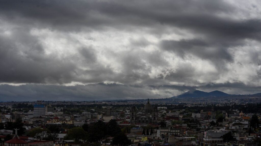
The Heat wave In the Valley of Mexico. Sky conditions with dispersed cloudiness during this day.
In the morning, cold to fresh atmosphere in high areas of the State of Mexico, tempered to warm in the rest of the region.
[¿YA CONOCES EL CANAL DE WHATSAPP DE UNO TV? Da clic aquí, síguenos y obtén información útil para tu día a día]
Towards the afternoon, hot and rain at Mexico City and probability of isolated rains (0.1 to 5 mm in 24 hours) in the State of Mexico.
- Maximum estimated temperature in Mexico City: 30 to 32 ° C
- Estimated minimum temperature in Mexico City: 15 to 17 ° C
- South component wind of 10 to 25 km/h with gusts of 30 to 50 km/h
Climate forecast for Wednesday, May 7
During Wednesday, a Anticyclonic circulation at medium levels of the atmosphere and the low moisture content They will cause little rains potential and hot to very hot environment over a large part of the country.
In turn, the Heat wave In areas of Nuevo León (South), Tamaulipas (Southwest), San Luis Potosí (North, Central and South), Guanajuato (North, Central and South), Jalisco (Center, Southwest and South), Colima (Northeast), Michoacán (West, Center and East), Guerrero (Northwest, North and Northeast), Oaxaca (Central and South), Chiapas (Southeast) (North and South), State of Mexico (Southwest), Mexico City, Tlaxcala, Campeche, Yucatán and Quintana Roo.
Simultaneously, Low pressure channels in the east and southeast of the country, coupled with Atmospheric instability e Humidity income Coming from the Pacific Ocean and Gulf of Mexico, they will cause rains and showers in these regions, with strong specific rains and hail fall in Puebla, Veracruz, Oaxaca and Chiapas.
In the course of Wednesday, the front system no. 42 It will extend over the northeastern national territory, will continue to interact with the Subtropical jet currentmaintaining the probability strong to very strong winds with hoppers in the north and northeast of the country, as well as from showers and strong rains in Coahuila, Nuevo León, Tamaulipas.


