What happened?
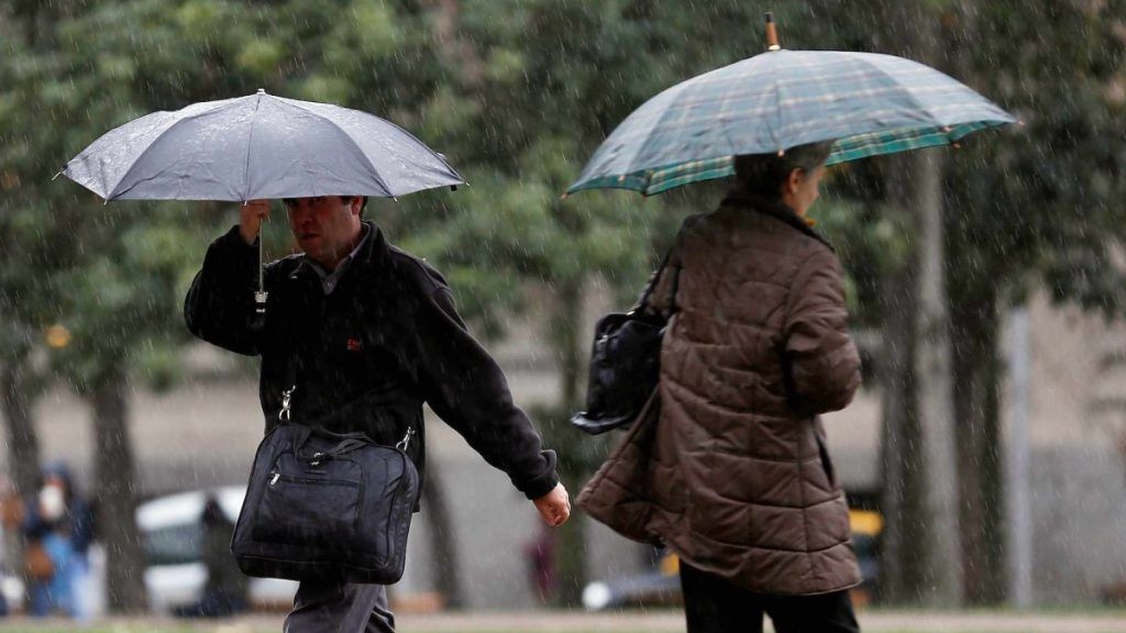
After years of intense droughtthe present 2024 has surprised the city of Santiago with a radical change in climatic conditions, showing a noticeably wetter than usual pattern.
In fact, in line with what was stated above, to date, The capital accumulates 199.2 mm of water fall, which represents a surplus of 90.1%.
THE LAST
Recent rainfall in Santiago and the south-central area have prepared the ground for the arrival of a new frontal system in the first days of next week.
According to the Chilean Meteorological Directorate, rains are expected to be concentrated mainly on Tuesday and Wednesday, while no precipitation is expected in the capital for the weekend.
Meteored, for its part, anticipates an even rainier outlook, with a first frontal system that would begin on Monday and last until Wednesday, followed by a second event that could bring rain on Friday and Saturday. Although there is the possibility of variations in the forecast as the dates approach.
Go to the next note
Regarding the estimated quantities, the first front system is expected to contribute 44.9 mm, while the second could add 34.3 mm, reaching a total of 79.2 mm. This would make June 2024 one of the wettest months in recent years, and possibly in the entire historical record.
The last frontal system that affected the south-central area of Chile left a record of 68.4 mm in the capital, with 26 mm recorded on Wednesday, 42 mm on Thursday and 0.3 mm on Friday.
Alejandro Sepúlveda warns that “three frontal systems are on the way”
For its part, Alejandro Sepúlvedathe journalist specialized in Meganoticias meteorologynoted that “three front systems are on the way and significant water will continue to fall in the month of June. The corridor, the front systems corridor, remains open“.
He added that “we have had very important rains, after 15 years of drought, and in June it will continue to rain (…) We are in surplus throughout the country, except for Los Lagos to the south”.
He continued by explaining that what we see on the satellite is that “a new frontal system is already forming, which will arrive this Sunday night in the region of Aysén, Los Lagos, and Los Ríos, and Monday covers La Araucanía, Biobío, Ñuble and O’Higgins”.
Likewise, he stated that “We are worried about this pulse that arrives on Mondaythe other that arrives later (possibly Thursday, Friday and Saturday) and another that is being formed (which would arrive the following week).”
All about Rain
Find your local forecast here


