Colombia It has been classified as a highly seismic country and the telluric movements that originate here are mainly related to the Pacific subduction zone. This occurs when the Nazca plate sinks under the South American plate, causing the rocky material to melt into the Earth’s mantle and emanate in the form of lava through volcanoes, such as those in the Central Cordillera, and also through the geological faults that occur. are active in the country.
He municipality of Los Santos, in the Santander region, is the place with the highest seismic activity in Colombia, since it is located above the Bucaramanga seismic nest. In the last year, nearly 6,000 earthquakes were recorded in this town and it is the epicenter of almost 70% of the tremors that occur in the national territory. Furthermore, Colombia is located in the Pacific Ring of Fire, a region that contains 75% of the volcanoes in the world and where 85% of the strongest earthquakes occur on the entire globe.
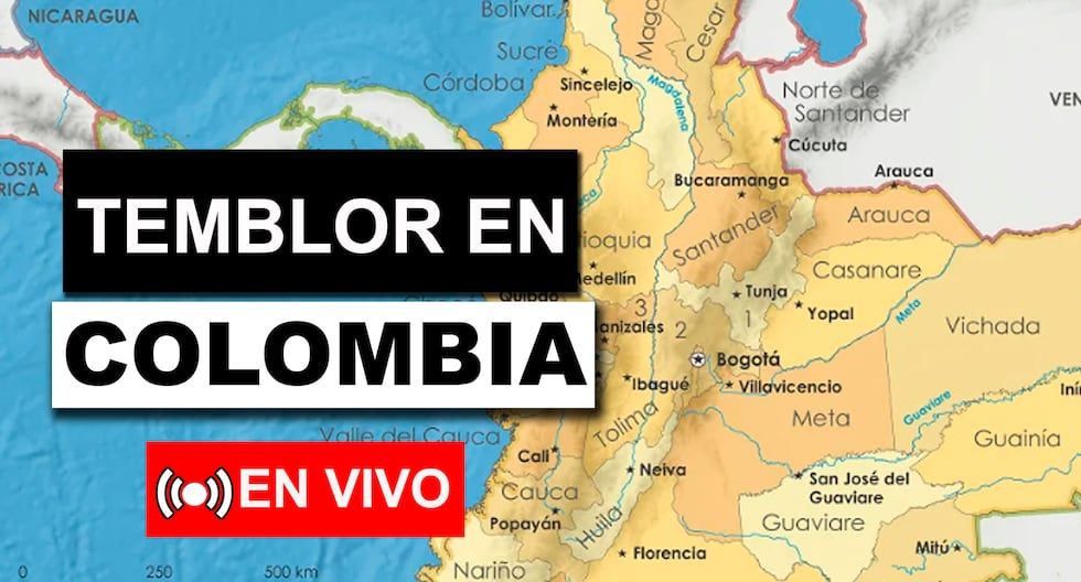
In view of this, the Colombian Geological Service (SGC) It is the institute that is responsible for tracking and monitoring threats of geological origin, that is, keeping citizens informed about the latest earthquakes. Therefore, in the following lines you will find a report updated in real time with the latest seismic events, exact data such as time, epicenter, magnitude and other details in the main Colombian municipalities.
Tremor in Colombia today, June 16 via SGC LIVE
In this article you will see the latest report of the earthquakes in Colombia that occurred and disseminated by the SGC (Colombian Geological Service) today, Sunday June 16, 2024with data such as magnitude, epicenter and time, as well as very important information that revolves around these events.
Most important earthquakes in Colombia
According to the historical seismicity of Colombia from the Colombian Geological Service (SGC), this is the list of the most relevant earthquakes in the South American country:
| EPICENTRAL AREA | DATE OF THE EARTHQUAKE | MAGNITUDE | MAXIMUM INTENSITY EMS-98 |
|---|---|---|---|
| Pamplona – North Santander | January 16, 1644 | 6.5 (Mw) | 9 |
| Honda – Tolima | June 16, 1805 | 6.1 (Mw) | 9 |
| Altamira – Huila | November 16, 1827 | 7.1 (Mw) | 10 |
| Santiago – Putumayo | January 20, 1834 | 6.7 (Mw) | 9 |
| Cúcuta – North Santander | May 18, 1875 | 6.8 (Mw) | 10 |
| Pacific Coast – Pacific | January 31, 1906 | 8.8 (Mw) | 10 |
| Villavicencio – Goal | August 31, 1917 | 6.7 (Mw) | 9 |
| Cumbal – Nariño | December 14, 1923 | 6.2 (Mw) | 9 |
| Groves – North Santander | July 8, 1950 | 6.1 (Mw) | 9 |
| Colombia – Huila | February 9, 1967 | 7.0 (Mw) | 10 |
| Pacific Coast – Pacific | December 12, 1979 | 8.1 (Mw) | 10 |
| Popayan – Cauca | March 31, 1983 | 5.6 (Mw) | 9 |
| Murindó – Antioquia | October 18, 1992 | 7.1 (Mw) | 10 |
| coffee axis | January 25, 1999 | 6.1 (Mw) | 9 |


