

Lima and other regions of the Peruvian coast They prepare to have cold nights. The National Meteorology and Hydrology Service of Peru (Senamhi) warned that, in the next few days, there will be a marking decrease in night temperatureswhich will have possible affectation from Ica to Piura.
He Meteorological phenomenon It will run from Saturday May 10 until Thursday 15causing lower temperatures during the nights, mainly in the districts near the sea. This temperature decrease will generate a sensation of greater cold in the morning, although sun is expected from noon.
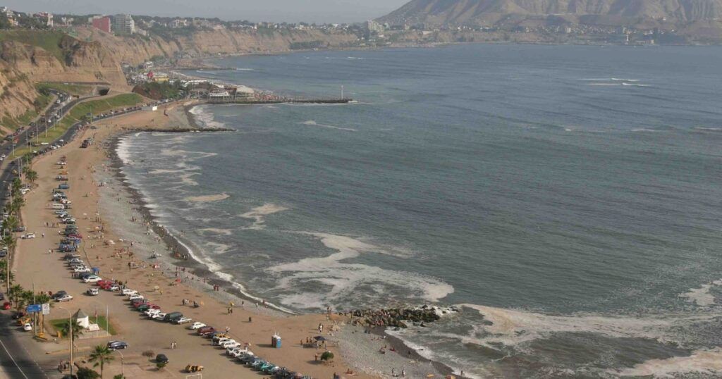
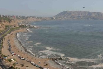
According to the report issued by Senamhi, coastal regions from Ica to Piura They will be affected by this thermal descent. In districts near the sea, night temperatures will range between 10 ° C and 20 ° C, which will cause a feeling of cold, especially during the first hours of the day. However, conditions are expected to improve during noon, when the sun shines with greater intensity.
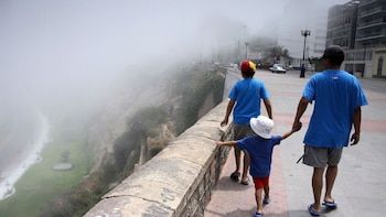
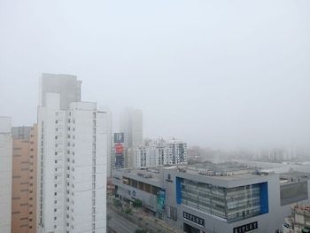
The Agency of the Ministry of Environment explained that the decrease in temperatures is due to two main factors: the cold temperature of the sea in front of the Peruvian coast and the intensification of the winds from the south. These factors will generate greater cloudiness in the morning and colder temperatures in coastal areas
Despite the fresh climate in the early hours, the influence of the sun during the day will relieve low temperatures, causing an improvement in climatic conditions around noon.
Senamhi detailed the minimum temperatures expected during the phenomenon, which will vary depending on the region. In Icanight temperatures are expected to range between 10 ° C and 15 ° C, while Lima A range between 14 ° and 17 ° C is expected. In Áncashthe minimum temperatures will be located between 15 ° C and 17 ° C, while in freedom a range of between 14 ° and 18 ° C is expected.
In Lambayequenight temperatures will be between 15 ° C and 17 ° C, while in Piura The minimum temperatures are expected to range between 17 ° C and 20 ° C. In Metropolitan Limathe minimum temperatures are expected to vary between 15 ° C and 16 ° C.
This decrease in temperatures will be especially notorious in regions near the sea, where cold winds and cloudiness will increase the feeling of cold during the first hours of the day. However, around noon, the situation will improve due to the presence of the sun, which will relieve low temperatures and provide a warmer environment.
Previously, Senamhi issued a Orange alert due to a meteorological phenomenon that will affect the Peruvian coast until May 10. An increase in wind speed is forecast, with gusts that could exceed 40 km/h in some areas, especially in the regions of Ica and the northern coast of the country. This phenomenon will also bring about the presence of fog, isolated drizzles and a greater feeling of cold.
The regions that will be affected by this phenomenon include Lima, Callao, Áncash, Ica, La Libertad, Lambayeque, Piura, Tumbes and Moquegua. Climate conditions are expected to vary throughout the day, with cloudy skies in the early hours, followed by a slight improvement towards noon
He National Meteorology and Hydrology Service of Peru (Senamhi) is a specialized technical body of the Peruvian State, attached to Ministry of Environment (Minam). Founded on March 25, 1969 by decree Law No. 17532, its main mission is to generate and Provide weather informationreliable hydrological and climatic for Peruvian society, contributing to the reduction of the negative impacts of natural phenomena of hydrometeorological origin.
Among its functions include the organization and operation of the National Meteorological, Hydrological and Agrometeorological Stations Networkthe issuance of weather forecasts and alerts, the realization of scientific studies and research in the areas of weather, hydrology and agrometeorology, and technical advice to public and private entities on issues related to climate and the environment.
Constantly, Senamhi issues its Meteorological notices to inform the corresponding citizens and authorities about the possible presence of atmospheric events severe, ranging from the level of yellow hazard to red.


