The Easter week In Spain it was marked by the changes in time: despite a short stability situation that was mainly lived on Holy Thursday, the rains, snowfall, strong wind gusts and storms They starred in religious festivities in much of the country’s territory. Winter returned to the Iberian Peninsula, preventing us from detached from the umbrella and the coat.
At the beginning of this week, with the end of the holidays and the return to work until next May 1, instability has also predominated with the passage of an Atlantic Front. However, Bad weather is about to say goodbye For at least a couple of days, according to the data of the State Meteorology Agency (Aemet).
As of this Wednesday, April 23, the Azores anticyclone the peninsular territory will almost completely cover, so the clear skiesexcept for a certain cloudiness in Galicia and in the Cantabrian Sea, where some weak and residual precipitation could appear. In the north of the Canary Islands there could also be some rains.
On Thursday this stability situation will be maintained both in the Peninsula and in the Balearic Islands, since the skies will be little cloudy or clear and with absence of rainfall. Again, in the Eastern Cantabrian some weak precipitation could appear, as in the Pyrenees. In the Canary Islands the clouds, with which it will dawn on April 24, will gradually be clarified. In addition, the Aemet has warned of a possible light calima entry in the end southern peninsular.
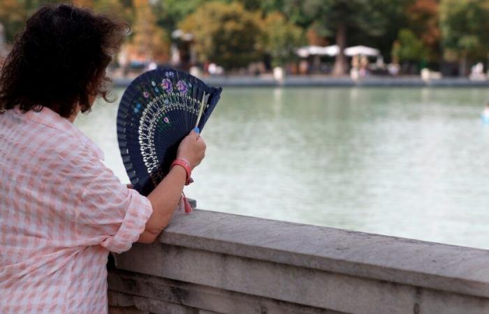
Both Wednesday and Thursday are expected temperatures “above normal for the time”since, although the maxims will remain stable in the archipelagos and with few changes in the Mediterranean area, a significant increase in the rest will be experienced. As for the minimums, in the northeast peninsular half the decreases will predominate, but with increases in northern Galicia and the Balearic Islands and few changes in the rest of the territory.
-In Seville you can reach 29 ºC and other Spanish cities will have maximums that will exceed 25 ºC, such as Córdoba, Huelva and Murcia. In Castilla y León we will find the lowest minimums, with 1 ° C in Ávila, León and Palencia.
On Thursday, few changes will be experienced with respect to the previous day, although the maximums will amount to Badajoz, Granada, Jaén or Murcia, placing the limit of the 30 ºC, which in Seville can be reached.
The umbrella cannot be saved yet at the bottom of the closet, since the approach of a Dana from the southern peninsular From Friday he will leave cloudy skies and possibility of some weak and scattered rainfallespecially in Alborán and the peninsular southeast. In the main mountain environments, as well as in the northern plateau, showers may occur accompanied by occasional storms. In the northwest they will be more intense and generalized.
Also on Saturday the heavens will be cloudy or covered in the northern peninsular third, with weak rainfall that will advance from west to east and that in the afternoon will intensify at the northeast end. In the rest, the cloudiness will also increase in the afternoon, leaving showers and storms, occasionally with hail.


