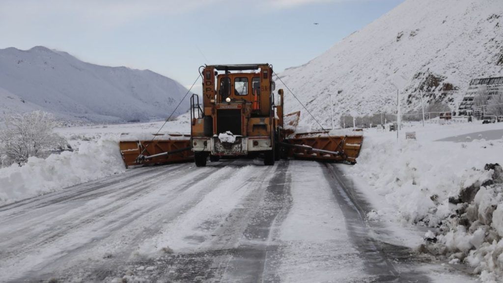
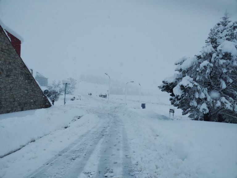
The prior to the arrival of winter In Mendoza it has brought with it an intense snow storm in the high mountains, significantly affecting the region and traffic through the Cristo Redentor Pass. Despite the consequences on the daily life of transporters and tourists who plan their long weekend on the other side of the Cordillera, the snowfall generate expectations in the people of Mendoza since they then influence the forecast of summer waters, and in fact it is a phenomenon of analysis for specialists in climatology.
The current situation contrasts with the winter past, when the El Niño phenomenon brought historic snowy rainfall to Mendoza. This year, the development of La Niña is modifying atmospheric circulation patterns, which affects the arrival of bad weather systems in the central area of the Andes Mountains during the months of winter. Juan Rivera, researcher at the Argentine Institute of Nivology, Glaciology and Environmental Sciences (Ianigla), explained in April that “the development of La Niña modifies atmospheric circulation patterns on a regional scale, affecting the arrival of bad weather systems in the central zone of the Andes Mountains in the months of winter“. This impacts both “the Cuyo region and Northern Patagonia for the quarters of winter and a good part of spring.
Maxi Viale, researcher in Atmospheric Sciences at Ianigla, published this Monday on his “On Friday the 21st and Saturday the 22nd, another more intense event arrives, RA Cat 2, but not as intense as the recent one on June 13. Both events this week will contribute more snow.”
For his part, Diego Araneo, also a Conicet researcher, commented to MDZ that it is estimated that the snowfall of medium to high intensity last until the end of the month. However, about the forecast for winter, he warned that “these will tend to be much less intense and/or more sporadic in the coming months. Most likely, the snowfall that we had in May and June will not be able to compensate for the negative precipitation anomalies that we expect for the remainder of the year. winter in most of the basins of the province, especially those in the north, but at least they will somewhat mitigate the deficit that we have been having.
Due to heavy snowfall and adverse weather conditions, the Cristo Redentor Pass, which connects Mendoza with Chile, has remained closed. The authorities reported that the pass will remain closed at least until Tuesday, and it is estimated that the storm will continue until Saturday. The Coordination of the Cristo Redentor Pass recommended that users stay informed about the status of the pass and the weather conditions in the high mountains before planning any trip, since decisions about the opening of the pass will be made day by day based on the evolution of the weather.
With the approach of the long weekend of Thursday, June 20 and Friday, June 21, both travelers who wish to cross to Chile and tourists who plan to visit Mendoza are attentive to the reopening of the crossing. Although the adverse weather complicates the situation, there is hope that conditions will improve towards the end of the week. For now, the main recommendation is to stay informed and be flexible with travel plans.


