
How many wells are there in the streets of the city of Santa Fe?
That difficult question to answer will try to be answered by the Bachometer. This tool designed by El Litoral is designed for citizens to add their contribution by completing a simple form.
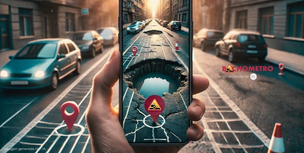
The problem of potholes in Santa Fe is recurring. Do you have one nearby? Add it to the map.
When the information sent by users is validated, the georeference will be added to the map of potholes in the capital of Santa Fe. In addition to the image and information about its location, the reader must rate it in one of the following categories: Mild, intermediate or extreme.
Neighbors will find the tool on the following website: https://www.ellitoral.com/especiales/Bachometro.
Once on the site, those interested will be able to add their photograph by clicking the “Send your bump” button. The form will then be displayed that must be completed with the following information:
In the next field the option to add the image appears. The user must search for it on their device (computer or cell phone) and press the “upload your photo” button.
Then, the interested party must fill out a brief description about the place where the pothole is located. The precision of the text will help to geoposition the well more accurately.
Subsequently, the user must choose between three characteristics of the detected collapse or breakage:
To complete the process, the user must choose (it is not mandatory) if they agree to receive information from El Litoral in their email box. Then press the red “send” button.
With an intuitive interface, users can navigate the map and know where potholes and sinkholes are located in the city of Santa Fe, as well as contribute to the map by uploading information.


