
From now until the end of the century the sea will rise about 80 centimeters. The water level will increase due to the effect of climate change, due to the melting of glaciers. The change will occur in 79 years, but its advance will occur progressively. With this data, a geologist studied San Antonio Oeste and Las Grutas, two coastal cities in Río Negro. He concluded that, In the first case, the state of areas that are currently flooded by extraordinary tides could worsen. In the second case, the cliffs would be modified, because more and more water will hit the caves that give it its name. AND, In the Terraza al Mar area, the rocky front could descend until it is level with the beach.
The results are part of a extensive report in which Alberto Caselli (the professional who led the work) provided suggestions for the municipality and the Province to analyze possible mitigation measures. In fact The evaluation was carried out at the request of the authorities, both local and Rio Negro.
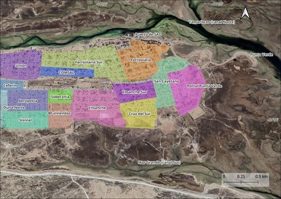
In the case of San Antonio, the work detailed what the Costanera Avenue, the streets of Gral. Güemes, Punta Verde and the neighborhoods of 80 Viviendas and Sisvial will continue to be affected by flooding when extraordinary tides occur. That is, at times when high tides reach heights of 9 metres. “There were maximum values of up to 9.8 metres during the period in which data were collected.” Caselli specified, in dialogue with Río Negro.
«These areas show flooding both today and in the year 2100. That is why We advise raising the ‘elevation’ (the level) of the current ring road. That work gave very good results, and it has to go up a little more,” the man advised.
However, he was clear in defining that this solution would be temporary.“By the year 2100, there should be a mitigation and/or correct planning plan,” he stressed.
This would become essential for some neighborhoods. “If the outlook continues as we analyzed in the southern part of the city, the water would flood all the neighborhoods. That is why Raising the ring road to values greater than 9.15 meters is not a viable solution for the year 2100, since the water would reach Islas Malvinas Street,” he said.
He added that “in the workshop we did with the neighbors, some of them mentioned the existing problems in the Cruz del Sur neighborhood, since, before the path was raised, it was completely flooded during extraordinary tides. “Therefore, in the future, it is likely that this neighborhood will become vulnerable again,” he warned.
In the case of Las Grutas deemed it necessary to carry out a more thorough investigation. «A hydrogeological study would have to be carried out. Currently There is a lot of water circulating in the area and it is necessary to determine whether all that volume is natural or anthropogenic. (comes from human activity).
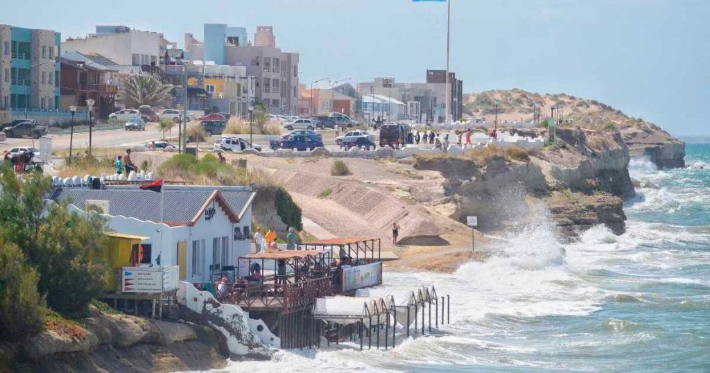
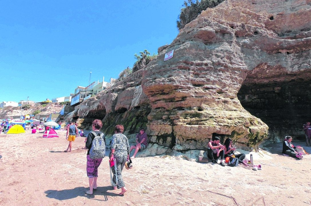
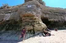
However, he provided some data from the analysis that allow us to assess what will happen to the coastal front. «There could be profound changes. In the area where the caves are located, a greater amount of water will impact with greater force on the edge of some of these formations.. This could hit another geological unit of the rock, which has not been subjected to so much pressure until now. We have to see if that strip is more or less vulnerable, because This could accelerate erosion. That is why we advise that the investigation continue,” said Caselli.
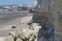
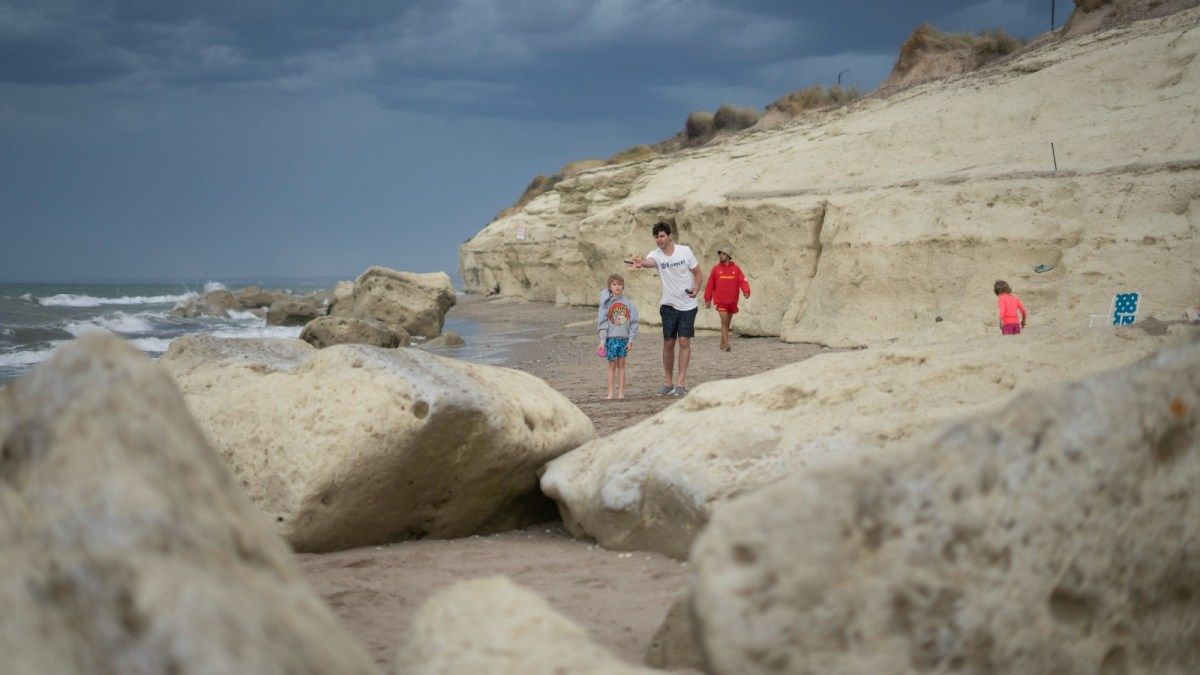
He also referred to the area of Terrace to the Sea, located at the height of the northern access of the tourist village. «There, something that is already seen could continue to be evident, which is that the rocky front, in some points, It is very close to the coast level. That could be expanded, covering sectors that, currently, are a little higher »he highlighted.
It is worth remembering that To carry out the study, the geologist and his team processed information obtained through satellites and radars, which, over the last few years, have made it possible to capture the changes that have occurred between the limits of high and low tides.
Information from locals was also important. Workshops were held to help scientists, With the input of the neighbors, they will identify sites that remain under water or suffer permanent runoff, before each rain or extraordinary rise of the tide.
“All We dump that data into software. It is a computer program that showed us how it would impact water, with the growth expected for the coming years“s” Caselli concluded.