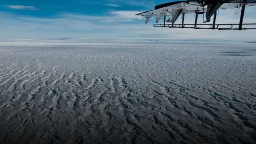
A team of geologists discovered a river that remained hidden for around 34 to 44 million years under the West Antarctic ice sheet. With approximately 1,600 kilometers in length, it is the largest river system on the white continent known to date.
The discovery was made by researchers from the University of Bremen and of Alfred Wegener Institute, Helmholtz Center for Polar and Marine Research in Germany, together with German, British, Irish and Swedish universities and research institutes, who published it in the journal Science Advances.
The US signed a new security memorandum on Antarctica to monitor possible “threats” to the region
Authoritarians don’t like this
The practice of professional and critical journalism is a fundamental pillar of democracy. That is why it bothers those who believe they are the owners of the truth.
Johann Klagessedimentologist researcher at the Alfred Wegener Institute in Germany and co-author of the study, indicated that this discovery is a great advance in understanding extreme climate variations in the history of the Earth.
Along these lines, he highlighted the importance of analyzing these periods to obtain information about the consequences of global warming: “If we think about potentially severe climate change in the future, we must learn from the periods in Earth’s history in which this has already occurred. happened”.
Klages’ team carried out an expedition in 2017 aboard the research vessel Polarstern. The journey began from the southern tip of Chile towards West Antarctica and they used advanced drilling equipment to extract sediments. That way, revealed layers from two different periodswith the lower part dating from 85 million years ago (Middle Cretaceous) and the upper part from 30 to 40 million years ago (Middle to Late Eocene).
Oil in Antarctica? | They claim that Russia found the largest reserve in the world
More detailed analysis of the Eocene sediments showed a stratified pattern typical of a river delta, similar to those of the Mississippi River in the United States. Furthermore, the presence of freshwater cyanobacterial biomarkers supported the hypothesis of an ancient river that once ran through the Antarctic continent.
Meanwhile, to map the topography of the hidden landscape, the team used ice-penetrating radar and sonar techniques. Thanks to these procedures, They discovered a small island buried almost two kilometers below the surfacewith blocks of land separated by “U”-shaped valleys.
In addition to this, they examined sediment samples they obtained from the Amundsen Sea off the coast of West Antarctica. The analyzes revealed that most minerals and rock fragments do not come from the southernmost continentbut from the Transantarctic Mountains that are located on the edge of East Antarctica, thousands of kilometers away.
This mountain range rose since the late Eocene as a continental rift, the West Antarctic Rift System, which currently divides Antarctica into two land masses: East and West Antarctica. Since then, the uplift and erosion of the mountain range produced large quantities of sediments, which the discovered river transported over 1,500 kilometers.
Oil in Antarctica, the “perfect opportunity” for Putin to “cause problems” in the Malvinas cause
The existence of such a transcontinental river system shows that Much of Western Antarctica must have been situated above sea level as extensive, flat coastal plains.In this sense, due to the low topography, the region was free of ice at the end of the Eocene, while the mountainous areas of East Antarctica were already beginning to form glaciers.
As the researchers explained, 34 million years ago there was no ice in Antarctica, but a temperate climate prevailed. Even until about 100 million years ago it constituted the central part of the supercontinent Gondwana. However, after the breakup of Gondwana, Antarctica was established as an independent continent.
Meanwhile, during the middle Eocene, the Earth’s atmosphere had carbon dioxide levels almost double those of today, similar to projections for the next 150 to 200 years if greenhouse gases continue to rise. Then, global cooling at the end of that era led to the formation of glaciers.
mb/ds