The city of Lima It is located in one of the most active seismic areas, the Pacific Fire Belt. The region is constantly affected by friction between plates Nazca and South American tectonics, which places the capital of Peru at a continuous risk of suffering earthquakes of great magnitude the earthquakes.
The Geophysical Institute of Peru (IGP) has indicated that the accumulation of tectonic energy In the period known as “seismic silence” increases the chances of a great earthquake It occurs at any time, which makes Lima in an area of high vulnerability.
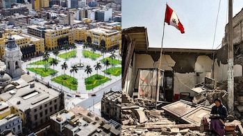
Experts have warned about the imminent possibility of a disaster in the capital, especially after almost 300 years of “Seismic Silence”. Given this threat, it is essential to know which districts of Lima are more vulnerable to the effects of a possible earthquake of magnitude 8 and which are considered safer.

To anticipate the devastating effects of an earthquake, the Ministry of Housing, in collaboration with the National University of Engineering (UNI), developed the “Seismic microzonification map”This study aims to identify the most vulnerable districts in Lima, analyzing the characteristics of the soil and its ability to support a great earthquake. The analysis focuses on the quality of the land, especially the stability of the soils.
In addition, the Japanese Peruvian Seismic Research Center and Disaster Mitigation (CISMID)through his seismic microzoning studies, he also contributed to the identification of the most vulnerable areas of the capital, providing us with a clearer panorama about what to expect before a great magnitude.

According to the map, the most exposed districts for the destructive effects of an earthquake in Lima are those that present Soft soilsunstable or Remote stuffed. The geological characteristics of these sectors facilitate the structures collapse and increase the probability of landslides in high areas. The highest risk districts include:
- Villa El Salvador
- Chorrillos
- Villa María del Triunfo
- Window
- Comas
- ANCON
- Santa Rosa
- Carabayllo slopes
- San Juan de Lurigancho
- Independence
- Ate
In addition to vulnerable type of soil, these areas face additional risks due to high population density, which could aggravate the consequences of an earthquake in case it occurs.

On the other hand, there are districts that present Rigid and rocky soilswhich makes them more stable in front of a great magnitude earthquake. In these sectors, buildings, provided that they have been properly built, are more likely to resist seismic effects. Some of the safest districts are:
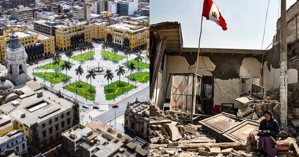
- Lima center
- Breña
- Magdalena
- Free people
- Jesus Maria
- Line
- San Isidro
- Miraflores
- San Miguel
“In case of earthquake, where there is a good soil and has been built formally there will be less damage than where there is a bad floor and has chosen to build without specialized assistance,” said Máximo Ayala, Risk Management Specialist at the MVCS.

Some districts in Lima have a mixture of solid and soft soils. A particular case is observed in La Molinawhere certain areas, such as Santa PatriciaThey have solid soils that allow the construction of higher and resistant buildings. However, other areas close to the National Agrarian University They have unstable soils, which limits the type of constructions that can be carried out.
A similar phenomenon occurs in Chorrilloswhere sectors near the Villa swamp They have soft soils, which increases the risk of structural damage during an earthquake. In these areas, the authorities have recommended to restrict densification and limit the construction of new buildings to mitigate the risks.
According to the Geophysical Institute of Peru (PGI), the seismic risk is not limited only to Lima. Other regions of Peru, especially those in the costa central In front of the capital, they are equally exposed to a megaterremoto.

Specialists point out that areas of Áncash, Ica, Nazcaand the south of the country, like Tacna y MoqueguaThey are also especially vulnerable due to their proximity to subduction areas between tectonic plates. Given this panorama, experts agree that the key to mitigating the effects of an earthquake lies in urban planning and construction in adequate soils, as well as in the education and preparation of the population in the face of seismic risks.


