The National Seismological Center (Censis) of the Geophysical Institute of Peru (IGP) recorded a magnitude 4.1 earthquake this Thursday, June 27, with the epicenter in the city of La Tinguiña, in the province of Ica of the department of Ica.
According to a report from the National Seismic Network, the movement began at 18:18 (local time) and originated at a distance of 31 kilometers northwest of La Tinguiña, with a depth of 61 kilometers and latitude and longitude of – 13.85, -75.93 degrees.
Due to the magnitude of the earthquake, the alert range issued was green.
The green color range is used for earthquakes magnitudes less than 4.4; yellow is assigned to movements whose magnitude fluctuates between 4.5 to 6.0; while the color red designates earthquakes greater than 6.1.
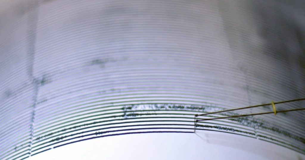
The GPI CENSIS obtains its data from the National Seismic Networkmade up of a series of speed, acceleration and displacement sensors distributed throughout the country.

Peru is located in the area known as the Pacific Ring of Fire.a region that concentrates 75% of the volcanoes that exist in the world and where approximately 100% occur 80% of the strongest earthquakes of the world.
The Pacific Ring of Fire, also known as the Pacific Ring of Fire, is made up of the mountainous area in western Argentina, Chile, Peru, Ecuador, Colombia, Panama, Costa Rica, Nicaragua, El Salvador, Honduras, Guatemala, Mexico, the United States and Canada, then bends around the Aleutian Islands and goes down the coasts and islands of Russia, Japan, Taiwan, the Philippines, Indonesia, Malaysia, East Timor, Brunei, Singapore, Papua New Guinea, the Solomon Islands, Tonga, Tuvalu and New Zealand.
In the case of Peru, the country is in the South American tectonic plate colliding head-on with the Nazca plateWhen they are in friction, they generate tension, which is released in the form of earthquakes; In addition, the region has constant volcanic activity.
The Ring of Fire extends over 40 thousand kilometers and is shaped like a horseshoe, in addition, Within this line there are 452 volcanoes and is home to most of the so-called “supervolcanoes”, whose eruptions are at levels VEI-8, considered catastrophic.

The South American nation has had to face various seismic events that have left hundreds of dead, injured and countless material damages. Here is a list of the most relevant ones.
May 31, 1970
The 7.9 magnitude earthquake originated in the department of Ancash, followed by a landslide that buried the city of Santo Domingo de Yungay at 3:23 p.m.
This fact It is considered the most destructive earthquake in the country’s history.not only because of the magnitude but also because of the The number of fatalities it caused was estimated at 67,000according to the document “The Ancash earthquake and the snow-capped Huascaran avalanche”, written by the geophysicist and scientific advisor of the National Institute of Civil Defense (Indeci), Mateo Casaverde, while there were also 150,000 injured, equally affecting to the departments of Huácamo, Lima and La Libertad.
Due to this catastrophe, in 1972 the government of Peru founded the National Institute of Civil Defense, in charge of devising plans to deal with this type of accidents and preparing national drills every May 31.
October 3, 1974
A 8.0 magnitude earthquake was recorded in the capital, Lima, at 09:21 a.m., a movement that was also felt on the Peruvian coast to the south. The movement lasted around 90 seconds and left 252 dead and 3,600 injured.
May 29, 1990
Another 6.4 magnitude tremor caused the death of 77 people, left 1,680 injured, 58,835 homeless and 11 thousand homes destroyed. The movement, which began at 9:34 a.m., left damage in the cities of San Martín, Amazonas, Cajamarca, Rioja, Moyobamba, Chachapoyas, Jaén and Bagua.
June 23, 2001
An earthquake of magnitude 6.9 affected southern Peru in the regions of Moquegua, Tacna and Arequipa, leaving 74 people dead, 2,689 injured, more than 21,000 affected, 64 people missing, 35,601 homes affected, of which 17,584 were destroyed.
The earthquake had several aftershocks and had an intensity of VIII, which generated a tsunami which also caused another 26 deaths. It was the most devastating earthquake after the 1970 Ancash earthquake and the largest in the world after the Rata Islands.
August 15, 2007
Peru was severely affected by one of the most violent earthquakes in modern history. The Pisco earthquake occurred at 6:40 p.m. magnitude 8 had a duration of 3 minutes 50 seconds. It was one of the most violent earthquakes that occurred in Peru in recent years, being surpassed by the Arequipa earthquake of 2001. This fact left 596 people died.
May 26, 2019
One of the last earthquakes recorded in Peru was the one known as the “Loreto earthquake”, which had a magnitude of 8 and occurred at 02:41 local time, leaving one person dead and more than 2,500 people affected.


