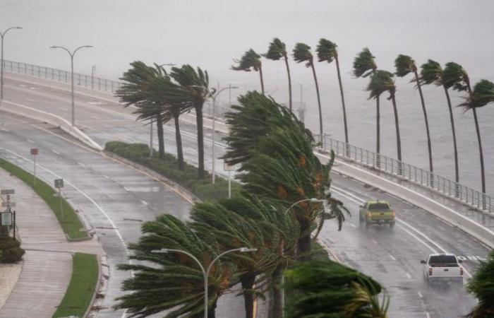
The meteorologists of the National Hurricane Center (NHC) warn about an area involved in the southwest of the Atlanticnear the Bahamaswhich could evolve into a tropical depression by midweek.
An area of low pressure is projected to form a few hundred kilometers northeast of the central Bahamas. Judging by the data provided by the NHCenvironmental conditions could favor the gradual development of the system as it moves towards the west or northwest, approaching the coasts of the southeast of USA.
While the chances of development over the next seven days are low, the system, regardless of its formation, could bring heavy rain to the coasts of Florida, Georgia and South Carolina in the middle or end of the week.
“A high pressure system currently generating a heat wave in the eastern US will help direct this system towards the coasts,” explained the meteorologist Kendall Smith of FOX Weather. And far from ending the ruling, he almost immediately provided more minute details: “So, we could be talking about heavy rain from the Carolinas to Florida throughout the next work week.”
Precipitation could begin as early as Wednesday night, June 19, in Florida and spread northward along the southeastern coast on Thursday, June 20. If necessary, a hurricane hunter plane will be sent on Tuesday to investigate the system.
Key points:
- An area of potential tropical development in the southwest Atlantic is monitored.
- Environmental conditions could favor the formation of a tropical depression in the middle of the week.
- The system could bring heavy rain to the southeastern US coasts starting Wednesday night.
- A hurricane hunter plane will be sent to investigate the system if necessary.
recommendations
- Stay informed about updates from the NHC and local authorities.
- Take precautionary measures for possible floods and landslides.
- Have an emergency plan ready in case of a storm.
- Competing with the disturbances of the Gulf of Mexico to become ‘Alberto’
At the same time, the NHC is closely monitoring another disturbance in the southwest of the Gulf of Mexico, which has a high probability of becoming a tropical system. This phenomenon is expected to cause heavy rains, with the risk of flooding in several areas of Texas during this week.
In the event that both systems, that of the Gulf and that of Atlantic southwest, evolve into tropical storms, the first to reach sustained winds of 65 km/h (40 mph) will be named Albert. The next system to reach that threshold will be called Beryl.
Typically, the first named storm of the Atlantic hurricane season arises around June 20. In this way, if Albert forms at the end of this week, we would be aligned with the average calendar.
The possible formation of these two disturbances highlights the importance of remaining alert to weather conditions and being prepared for possible weather events, especially with the arrival of peak hurricane season.


