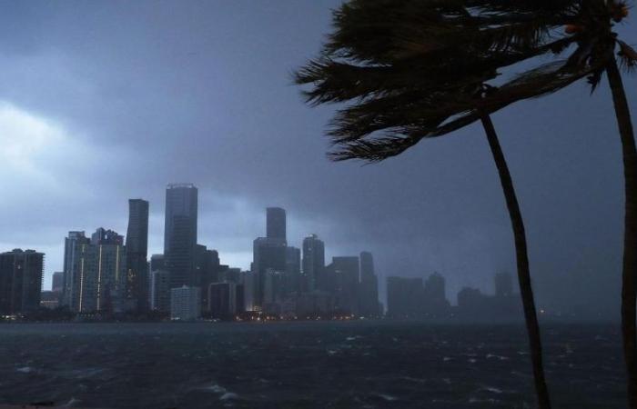
A new tropical wave in the Atlantic Ocean It caught the attention of meteorologists, who follow it minute by minute with the premise of not suffering from carelessness that could be lethal. The truth is that the National Hurricane Center (NHC) reported that, for the moment, it has a low probability of becoming a tropical storm. Even so, the concern is latent…
Currently, the wave is generating disorganized showers and thunderstorms. However, atmospheric conditions could allow for slow development as it moves west of the Caribbean at the end of the week that has just begun. “Environmental conditions appear favorable for gradual development once the wave reaches Cwestern aribe at the end of this week,” said the NHC in its meteorological perspective.
When it came to clinging to authoritative voices, the one who assumed the commitment to tell in detail what is happening was the meteorologist Kiyana Lewiswho was forceful: “We are monitoring a disturbance with a 20% probability that it will move over the Yucatan Peninsula and enter the Bay of Campeche. “Although the probability is low in the next seven days, it is something we need to watch closely.”
To put into context and explain simply, for this disturbance to evolve into a tropical storm, current thunderstorms need to organize around a well-defined low pressure center.
If it manages to develop, the storm would be named “Beryl“, and would have sustained winds of between 56 and 119 km/h. Bryan Norcrosshurricane specialist FOX Weathercommented that no significant impacts are anticipated on the Gulf coast. USA at the moment. “The NHC assigns a low probability of development in the short term,” said the expert on the subject. And he immediately added: “The possible scenario extends into next weekend, with a high pressure system projected over the southern US, which should keep any development southward.”
However, the disturbance must overcome the presence of Saharan dust in the atmosphere, which reduces the chances of development. Continuing along this line, Norcross himself insisted: “Saharan dust is dominating the tropical Atlantic, making the development of disturbances moving from Africa difficult. This dust generates a dry and stable layer that prevents the formation of organized storms. This phenomenon is known as the Saharan Air Layer (SAL).”
With 97% of the hurricane season in Atlantic Still ahead, meteorologists will continue to monitor the evolution of this and other disturbances.
These are the names of the hurricanes
The lists of names of these natural phenomena, published by the NOAAare updated every year by the international committee of the World Meteorological Organization (WMO). Every six seasons they are reused again, so those for 2024 are the same as in 2018.


