The Gulf of Urabá is located in the northwest of Colombia, on the Caribbean Sea coast, which is part of the Atlantic Ocean. Geographically, this region mainly covers the department of Antioquia and, to a lesser extent, the Chocó.
Although this last department has Costa in the Pacific, the municipalities of Urabá Chocoano, such as Riosucio, Uguía and Acandí, are oriented towards the Caribbean.
Now you can follow us in Facebook and in our WhatsApp Channel.
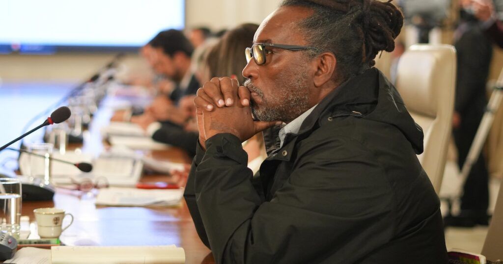
In this case, the Minister of Equality, Carlos Rosero, unleashed controversy on Thursday, May 1 by making a geographically incorrect statement during an intervention in the public channel RTVC.
In his speech, the official, a native of Buenaventura (Valle del Cauca), He declared that Urabá is part of the Colombian Pacific coast and described him as “one of the most important settlements of black people in this country”. The statement, made without correction or doubt, generated surprise and criticism because Urabá does not belong to the Pacific, but to the Colombian Caribbean.

The minister’s confusion was widely commented on social networks, in which users have questioned the lack of geographical precision in a senior official; especially in the context of his role as a representative of a portfolio that promotes ethnic and territorial recognition.
The error has revived debates about the importance of geographical education and the communicative responsibility of public figures. Some sectors have indicated that these types of statements can affect the perception of the regions and their characteristicsespecially in a country as diverse as Colombia. Consequently, the incident has put in the center of the discussion the strategic and cultural relevance of Urabá, a region that connects the Caribbean with the interior of the country and with Central America.

Urabá is an area of great importance for Colombia, not only because of its strategic location, but also for its environmental and economic wealth. The port of Turbo, located in this region, is key to maritime trade and fishing in the Colombian Caribbean. In addition, Urabá’s biogeographic diversity, influenced by the wet jungle of Chocó, gives significant environmental value; So these characteristics make Urabá a nerve point for the development of the country.
Although the Urabá region is commonly associated with Antioquia municipalities such as Turbo, Apartadó, Carepa and Necoclí, it also includes a portion of the Chocó department known as Urabá Chocoano, according to reports Procolombia. This subregion comprises municipalities such as Riosucio, Carmen del Darién, Uguía and Acandí, which are located northwest of Chocó, on the border with Antioquia and Panama. Despite its location in the Caribbean, Urabá Chocoano has been historically invisible in national discourse, which has led to a generalized ignorance about its identity and characteristics.

With this controversy, it was illustrated how Urabá Chocoano represents the social and geographical dynamics of the region have been ignored in the collective imaginary. Municipalities such as Acandí, although further north, share a geographical and social proximity with the rest of Urabáwhich reinforces its belonging to this subregion; And in that sense, these types of omissions in the recognition of the country’s regions underlines the need for greater attention to the territorial and cultural particularities of Colombia.
Indeed, the controversial declaration of Minister Rosero has evidenced not only the importance of precision in public discoursein addition to the need to make visible and better understand each of the country’s regions. Urabá, both in his antioqueña and Chocoana portion, represents an example of the geographical, cultural and economic diversity of Colombia, and its adequate recognition is essential to promote inclusive and equitable development.

